The Red Sea – a small ocean
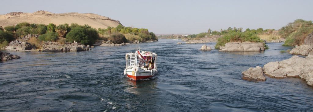
The Red Sea, known in Arabic as Bahr El-Ahmar and in Roman times as Sinus Arabicus or Mare Rostrum, covers a total area of 460.000 square kilometers. This sea, 2.250 kilometers long and up to 300 kilometers wide, lies between the Arabian Peninsula and Egypt and forms the border between Africa and Asia. Its average depth is 2.000 meters, with a maximum depth of 2.850 meters measured near Jeda.
In the north, the Red Sea is divided by the Sinai Peninsula into two deep bays: to the west, the Gulf of Suez, where it is connected to the Mediterranean Sea by the man-made Suez Canal, and to the east, the Gulf of Aqaba (Eilat). To the south, it is separated by the 29 km wide Bab El Mandeb Strait (Gate of the Sinai).
(Tears) access to the Gulf of Aden and thus to the Indian Ocean.
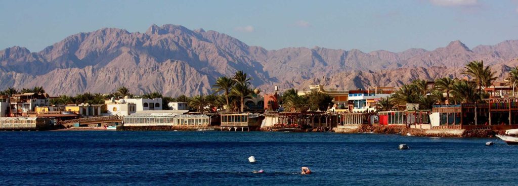
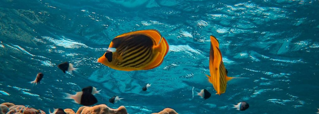
Contrary to its name, the Red Sea is deep blue. In the coastal regions, it shimmers in shades ranging from azure to turquoise. There are various explanations for its name: perhaps it got its name from a specific type of algae that colors the sea red in places, or perhaps it was already called that earlier.
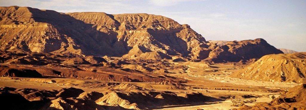
The ancient Egyptians said so because in their language the Red Sea borders the Red Land, the desert.
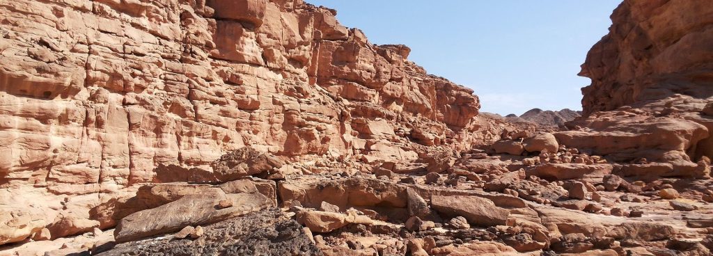
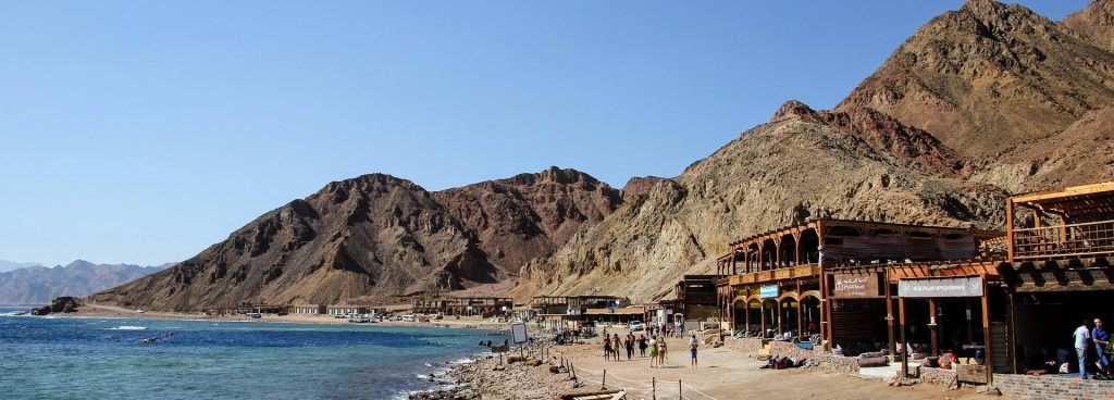
The Red Sea was formed around 40 million years ago when the Arabian Peninsula separated from the East African continent and the rift valley, which branches out to the north around the wedge of the Sinai Peninsula, disappeared beneath the waters of the incoming ocean. While the granite mountains in the Gulf of Aqaba plunge up to 1.800 meters into the seabed, the coral reefs in the relatively shallow Gulf of Suez (100 meters deep) extend as far south as Hurghada. These reefs consist of limestone deposits formed by corals over millennia.
The Red Sea is considered the warmest of all seas. The water temperature reaches up to 35°C at the surface and around 21,5°C at greater depths.